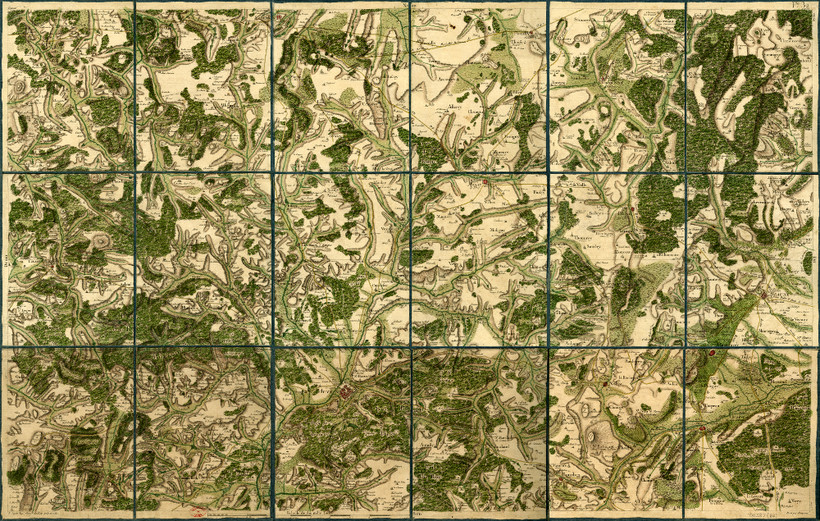
1784
Termination of the great Cassini Map of France
The third of the Cassinis, César-François (1714-1784), referred to as Cassini de Thury, devoted his life to a huge enterprise: the creation of a complete map of the kingdom on the scale of 1/86 400. The measurements began in 1750 and involved dozens of individuals for over 30 years. They were finished after the death of Cassini III, even while his son and successor, Jean-Dominique Cassini (1748-1845), directed the engraving of the remaining plates. One can assess the quality of Cassini’s map by laying it over modern maps. See www.geoportail.gouv.fr/ of the Institut Géographique National.
caption : Cassini Map - credits : Observatoire de Paris
