1744
Geodesy shows that the Earth is flattened
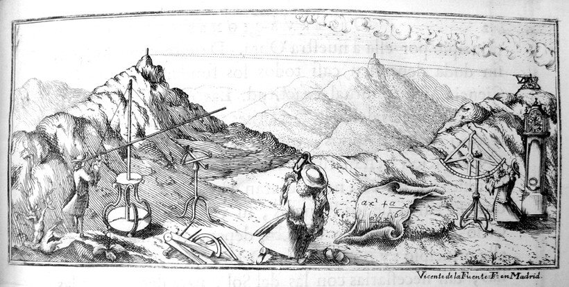
The debate about the shape of the Earth led the Academy of Sciences to organize many geodetic campaigns in Peru, Lapland and France. The latter took place from 1733 to 1744 and involved the entire country. It was determined that the Earth is in fact flattened; the erroneous result of the earlier campaigns was due to a small error in Picard’s measurements. Furthermore, there was now the essential structure to start a new project: the mapping of France in detail.
caption : Geodetic observations in Peru - copyright : Observatoire de Paris
